From Space to Soil-Merging InSar Satellite Data with Ground Engineering
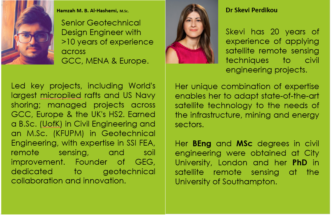
Presenter: Dr. Skevi Perdikou [Technology Manager] & Engr. Hamzah M. B. Al-Hashemi [M.Sc. (LEED GA, Geotechnical Design & Remote Sensing)]
Organized by: IRC for Construction and Building Materials
14 Nov 2023 @ 02:00 PM
Online
Dive into the world of advanced monitoring with our webinar "From Space to Soil: Merging InSAR Satellite Data with Ground Engineering." This session breaks down how satellite technology is transforming the maintenance of our built environment and natural landscapes. Here's what you'll discover:
•Ways in which images from space give us a new perspective to monitor the condition of infrastructure, like highways, bridges, tunnels, and pipelines, as well as buildings and natural slopes.
•How satellite data helps us understand and assess the impact of climate change on these structures by tracking shifts in the ground and moisture levels in the soil.
•The role of this data in identifying and managing geohazards such as landslides, ground sinking, or swelling, which are critical for ensuring the safety and resilience of our infrastructure.
The webinar will be packed with practical case studies from across the globe—including Saudi Arabia, the GCC, and Europe—highlighting the real-world integration of InSAR data with ground engineering to safeguard our surroundings against the challenges posed by nature and climate change.
